Tropical storm watch now a warning
Published 10:34 am Thursday, September 13, 2018

- Courtesy - National Hurricane Center
FRANKLIN
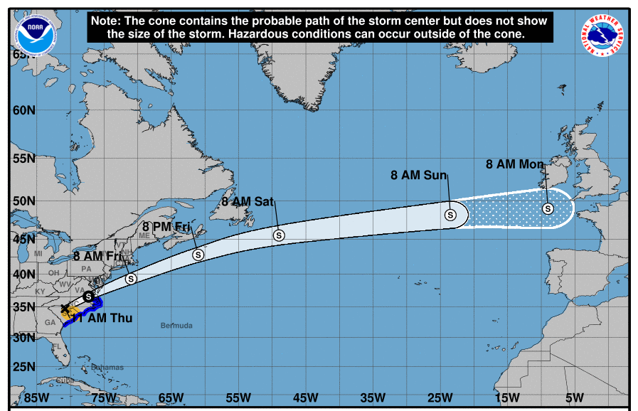
Though Hurricane Florence has weakened to a category 2 in the Carolinas, the National Weather Service’s Wakefield station has upgraded the tropical storm watch to a tropical storm warning as of 9 a.m. today, Sept. 13. This is in effect from the coastal areas of the North Carolina/Virginia border to the Cape Charles Lighthouse and Chesapeake Bay.
The storm is moving in a northwest direction, and is about 170 miles east southeast of Wilmington, North Carolina; about 220 miles east of Myrtle Beach South Carolina.
For today in Western Tidewater — which includes the city of Franklin, Southampton and Isle of Wight counties — there’s a 100 percent chance of showers and a thunderstorm after 11 a.m. Highs in the low 80s. Winds northeast 13 to 17 mph, gusts up to 25 mph. Tropical storm conditions are possible this evening with a 90 percent chance of showers. New rainfall amounts could range from a quarter to one-half an inch.
Tropical storm conditions continue into Friday with more showers and even a thunderstorm, winds from the east at 20 to 30 mph, gusts up to 33 mph. Rainfall amounts from a half to three quarters of an inch are possible. Showers will continue into Saturday, with east winds dropping to 16 to 29 mph, gusts up to 28 mph. Rainfall amounts the same as before.
Stay tuned to The Tidewater News for updates on the hurricane and related issues.