Latest bout with snow closes schools, government offices
Published 9:02 am Thursday, February 26, 2015
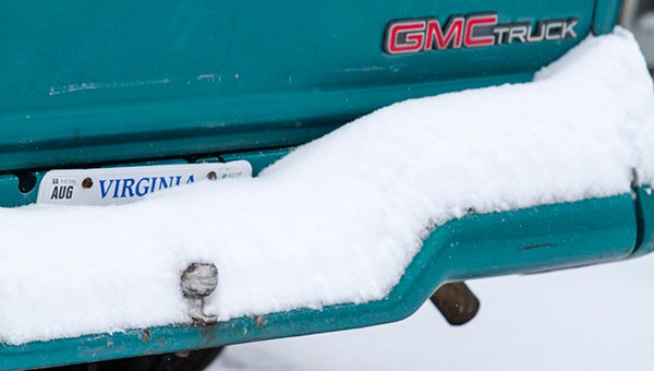
Southeast Virginia got a layer of snow on top of it Thursday morning. So far, Franklin has received six inches.
FRANKLIN
For the third time in just over a week, snow and freezing rain fell across the Western Tidewater region on Wednesday evening and into Thursday morning. The threat of accumulation, alone, caused schools and government offices state-wide to shut their doors on Thursday, and many are likely to stay closed through the weekend.
The National Weather Service in Wakefield issued a Winter Storm Warning for Southeastern Virginia on Wednesday morning, which remained in effect until Thursday at noon. As expected, heavy snow began to fall late Wednesday evening, and produced several inches of snow per hour. The City of Franklin and Southampton County received eight and seven inches of snow, respectively, overnight and light flurries in the morning. Isle of Wight also reported eight inches of snow in some places, while the City of Poquoson posted 8.5 inches to lead the region.

A commuter decides to brave the roads.
The latest storm, coupled with ice from Tuesday’s melting snow, made roads across the region a challenge for drivers for much of Thursday. In a period from midnight through noon on Thursday, Virginia State Police troopers responded to 1,347 calls for service state-wide, including 368 motor vehicle crashes, 18 of them causing injury. Within Division V — an area includes Hampton Roads, Tidewater, Eastern Shore, Williamsburg, Franklin and Emporia — troopers responded to 113 accidents, six of which resulted in injury.
The Virginia Department of Transportation sent crews out on Wednesday to pretreat the roads with salt and sand in hopes to minimize the effect of the snow. Working in 12-hour shifts, thereafter, VDOT focused their efforts on clearing the slushy, wet ramps and bridges with the hope of having all state-maintained roads passable within 48 hours of storm’s end.
Unlike earlier this week, when it snowed and subsequently melted the next morning, this precipitation is expected to stay around longer. Temperatures will not break freezing until Sunday, when the forecast is sunny with a high of 36 degrees. Refreezing is a possibility every night through Monday, when the temperature is expected to reach the mid-40s.


