Mayday, mayday, mayday
Published 10:07 am Wednesday, February 5, 2014
by Archie Howell
The call comes at dusk. Dusk lasts a long time here, but there’s not enough light left to do a search. A ship has called in a “Mayday” report. It’s the international distress call, meaning that a dire emergency is in progress and assistance is requested from whoever can hear and respond. I’ve heard only a couple of “Mayday” calls before, and they always send shivers up the back of my neck. It means that life is in imminent danger. We plan to be in the air at first light.
Dawn finds us in the HU-16 amphibian, taxiing out under an overcast sky with a light, misty rain and strong winds. It’s about average for this part of the world. The last-known position of the sinking vessel is close by Semisopochnoi Island, some 130 miles to our west. By the time we arrive, we’re hoping the visibility will be good enough for a visual search of the shoreline. No communication has occurred with the floundering ship since last night.
Most island coastlines in the Aleutians are rocky and not conducive to easy boat landings. If crewmen did manage to get into lifeboats, and somehow find their way to shore, an angry surf awaited and did not bode well for a safe arrival.
We depart to the east and turn north around the base of Mt. Moffet. Our radar operator keeps us clear of the land mass. The upper levels of our home base’s landmark are hidden from view; it’s not a good day to be lost in these islands.
Katanaga and Tanaga, fairly well known to us because of our orientation flights, pass off our left. Gareloi Island, the next in line is less known. We trust maps and our radar operator; our orientations have included low-level radar navigation among many of the passes between islands in this area. Our faith is based on experience.
Semisopochnoi is a mostly round, solitary island sitting atop an underwater ridge. Its nearest neighbor is over 20 miles distant; so we know that we can descend and circumnavigate the island at a low altitude fairly close in to the shoreline. We don’t have to worry about running into a rocky headland or being caught in a blind canyon. Such hazards are common in this region.
We approach from the east and plan to descend below the cloud base to the south before sliding in close to the shoreline in a left turn. We line up all lookouts on the left side or the aircraft, descend as close to the water as we dare, slow down as much as we can to allow as much time for a visual search as possible. It’s my job to monitor the aircraft instrumentation for problems and to keep a backup eye on our altitude and attitude. Visibility is not good and it’s easy to lose orientation without a visible horizon.
We wind up some 300 feet off the water, about a quarter mile from what we can see of the coastline. Waves are breaking close inshore on a rocky shelf. A heightened sense of alertness is almost palpable in the aircraft. We know that people will look very small from this distance, and they are likely to get lost between the rocks. Every available eye is focused on that shoreline.
A crackle and an excited voice comes over the intercom. “Contact. Ten o’clock. On the shore.” We mark the position, level the wings and fly a racetrack pattern to relocate the survivors. Our cameraman is ready and we slip a little closer to the shore to better identify a tragic situation. Some survivors are on the shore, waving their arms and we feel good about that. Other bodies are visible atop rocks in the water, deposited there by an angry surf.
We note the position as well as possible and radio the information to the Coast Guard. The cutter has been en route since the first notification and should be on site later today. We make several passes at the site to let the survivors know they’ve been found and help is on the way.
We return to Adak feeling that we’ve accomplished a mission successfully, fully aware that some lives have been lost and some will be saved. North Pacific waters are treacherous; those who travel the shipping lanes are well aware of the risks. Our mission is to take away a some of that risk, to somehow bridge a little of the gap between life and death.
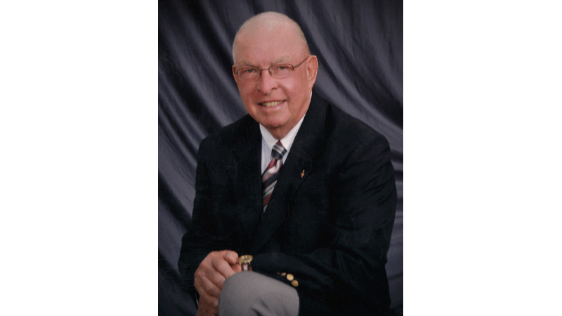
JAMES D. “ARCHIE” HOWELL is a Southampton County native and 1955 graduate of Franklin High School. He can be reached at archiepix@kingwoodcable.com


