Area receives more than 5 inches of snow
Published 12:48 pm Wednesday, January 29, 2014
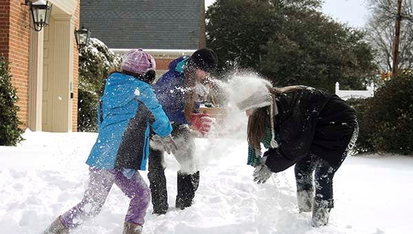
Helene Kimlick, 9, left, Paige Parker, 16, and Madalyn Kimlick, 17, have a snow fight i front of the Franklin Baptist Church. — Cain Madden | Tidewater News
FRANKLIN—As advertised, it snowed in Western Tidewater, but the final tally was slightly off of what was projected.

Parker Darden pushes Becky, Fiona, 6, and Sam, 7 months, Kee down Third Avenue in Franklin. Darden is the grandfather of Fiona and Sam. — Cain Madden | Tidewater News
Updated figures regarding snow accumulation according to the National Weather Service in Wakefield show that Franklin received 5.6 inches of snow, as of 4 a.m. Courtland received 4.5, and the figure was last updated at 6:50 a.m.
In Isle of Wight County, the Zuni area received 5.5 inches of snow accumulation, as of 4:40 a.m. Smithfield, as of 4 a.m., received 6 inches of snow.
Snow accumulation was projected to be 6-10 inches, according to the National Weather Service in Wakefield.
Jeff Orrock, meteorologist with the National Weather Service in Wakefield, said the snow that did fall would remain for a few days.
“We don’t see a decent period above freezing until Friday afternoon, so we will be pretty cold,” he said. “Therefore, the snow will be hanging around for at least the rest of the work week, maybe longer.”
Today, the high will be in the 20s, and the low could get to 10 degrees. Snow fall, which was projected to begin Tuesday night around sunset, is expected to taper off around 6-7 a.m.

Raynard Holloway Jr., 9, of Franklin, lets the snow rain down on him during the second snow day in two weeks. — Cain Madden | Tidewater News
Orrock said it could get above freezing for a short period of time on Thursday, as high as 34, and the low would be in the teens.
By Friday afternoon, it is expected to get in the high 40s, and the low will be in the 20s. It will still be a little slick, so Orrock said to be careful on the roads.
He also said by the weekend temperatures could reach the 50s.
“The snow can mess that up a little, but that’s the hope,” Orrock said.
“The snow is going to stick, and it should be with us for a while.”
He said the snowfall is coming from a coastal storm.
“The cold air is already in place,” Orrock said. “And with the storm developing off the shores, it is moving along the coast and kicking moisture back into the cold air mass.”