Franklin could get 6-10 inches of snow
Published 12:36 pm Tuesday, January 28, 2014
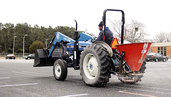
Clayton Smith of the Paul D. Camp Community College ground’s crew works to put out salt in the parking lot. — Cain Madden | Tidewater News
FRANKLIN—On the low end, Franklin is expected to receive 6 inches of snow accumulation tonight, and on the high end, it could receive more than 10 inches, said Jeff Orrock, meteorologist with the National Weather Service in Wakefield.

Snow forecast map
“Folks can plan on a significant coating of snow,” he said. “Particularly so the further east you go — it will be upward of 10 inches toward Suffolk.
“It is going to be cold. Most of it will stick.”
Orrock said it will start snowing anywhere from 4 to 6 p.m.
“It will start snowing about the time people are heading home,” he said. “Hopefully it will wait until toward the end of your commute.”
The heavy snowfall will hit around 8 to 9 p.m., and it will last overnight. Orrock said it would taper off around daybreak, sometime between 6 to 7 a.m.
Tonight, lows are expected to be in the teens. Tomorrow, the high is in the 20s, and the low could get to 10 degrees. Orrock said it could get above freezing for a short period of time on Thursday, as high as 34, and the lows are in the teens.
By Friday afternoon, it is expected to get in the high 40s, and the lows will be in the 20s.
Orrock said by the weekend temperatures could reach the 50s.
“The snow can mess that up a little, but that’s the hope,” he said. “The snow is going to stick, and it should be with us for a while.”